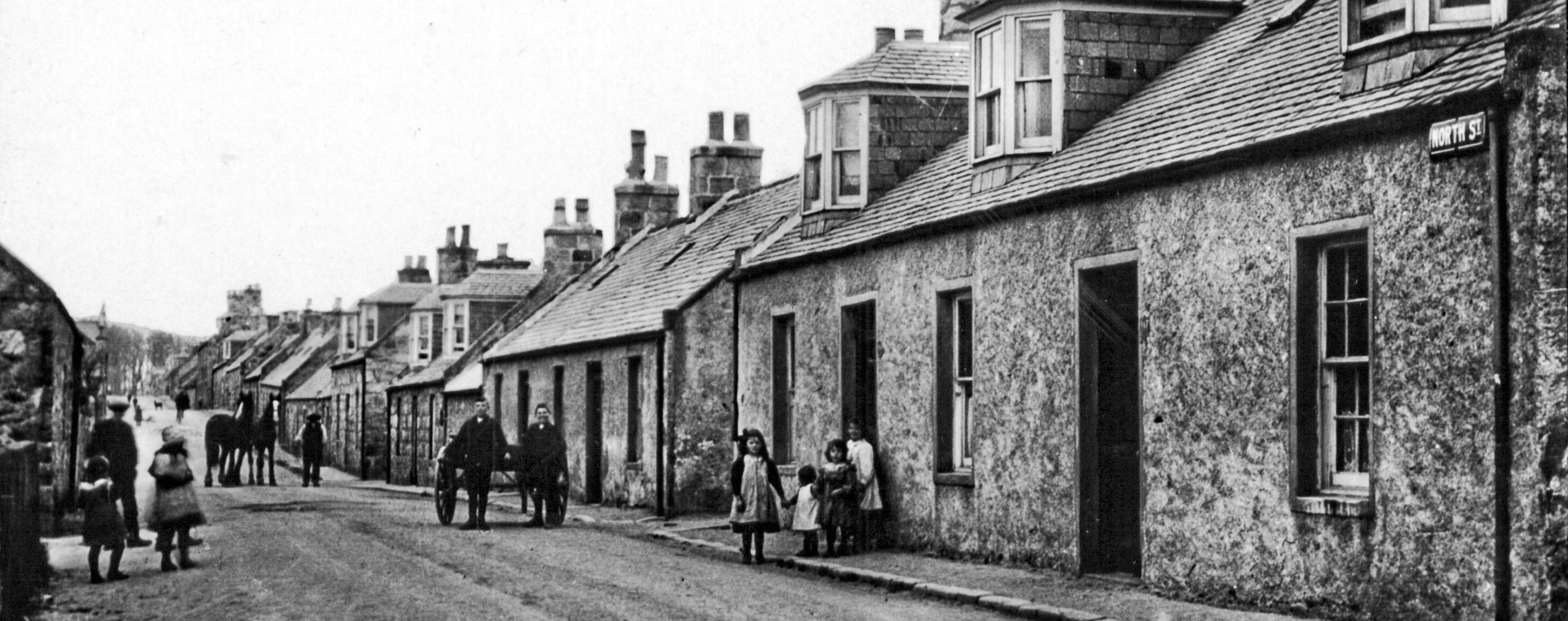
Housing & Utilities
Why does Aberchirder have two names?
A thing that fascinates people is why our village goes by two names – Aberchirder and Foggieloan.
Bleau’s Atlas of Scotland, compiled with the help of Robert Gordon of Straloch and his son Robert Gordon of Rothiemay, was published in Amsterdam in 1654. The place names for the Marnoch area provide useful evidence which helps to explain the origins of the two names by which Aberchirder (or Foggieloan) came to be known before and after 1800.
On the banks of the Deveron at what is now known as Marnoch the original church (in the kirkyard) is labelled Abirkerdir K[irk]. Just down river is Kynairdie [Castle], home until the early 15th Century of the Thanes of Aberkerdour. (A thane was a man who held land from a Scottish king and ranked with an earl’s son.)
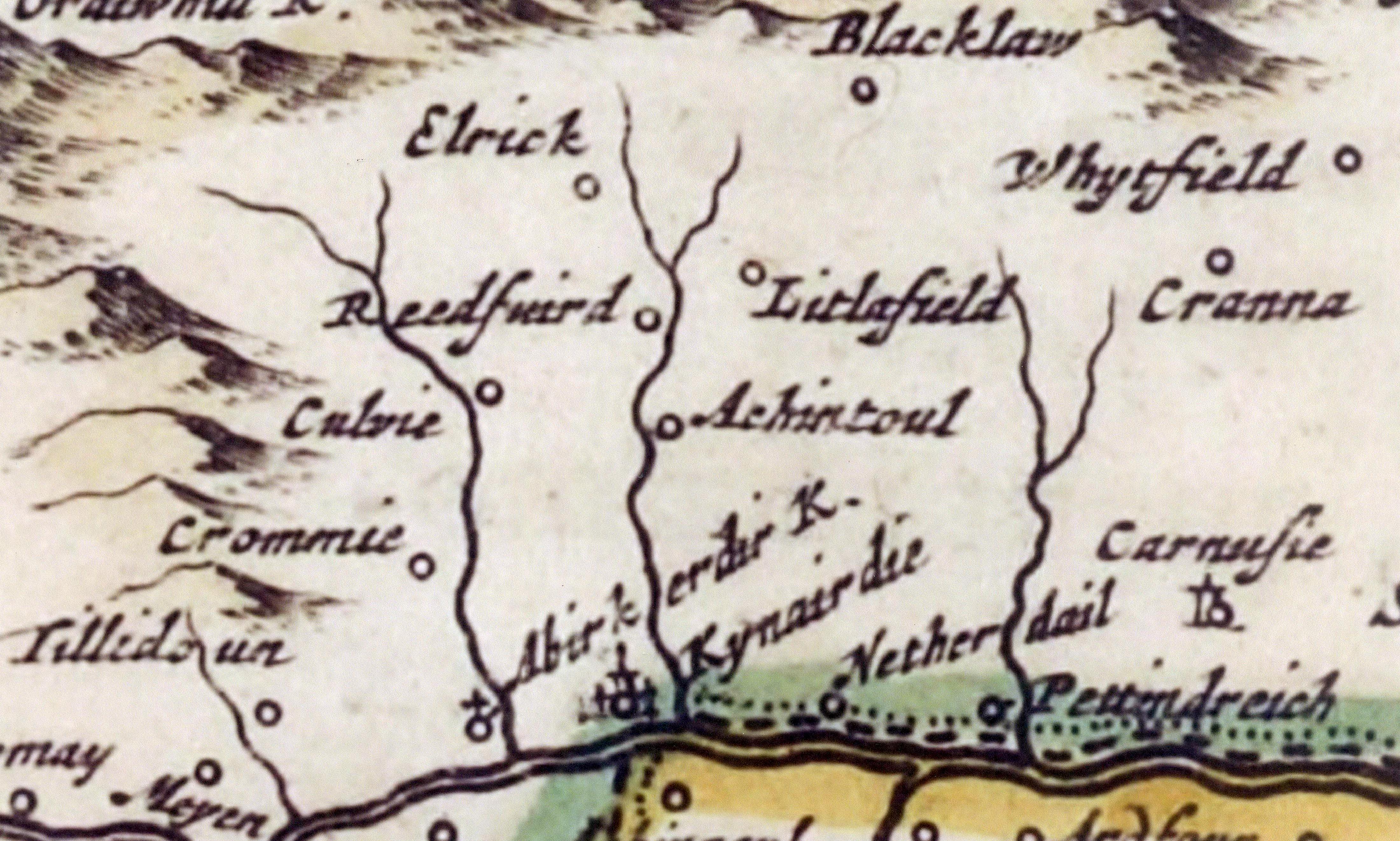
Reproduced with the permission of the National Library of Scotland
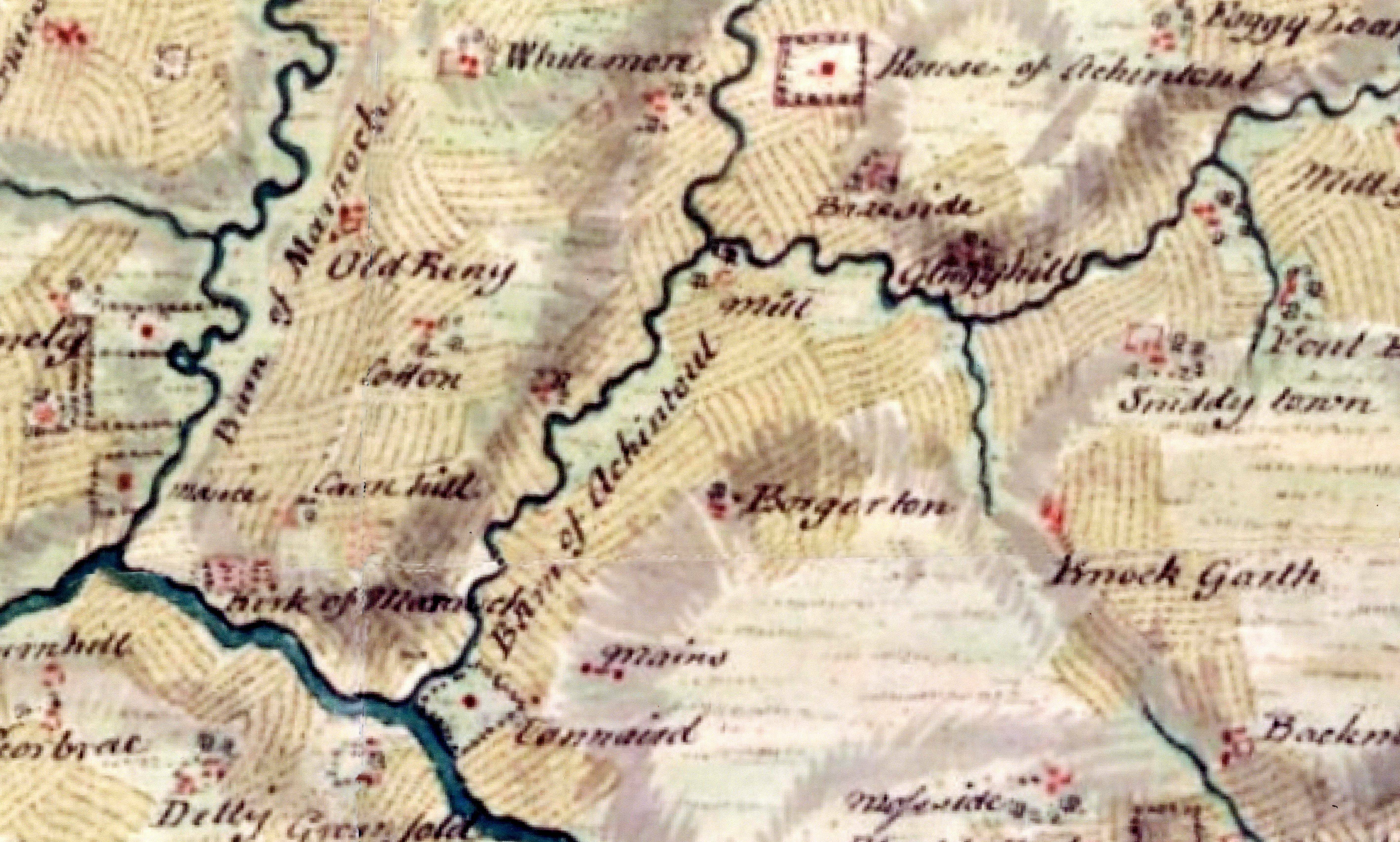
Reproduced with the permission of the National Library of Scotland